Notice
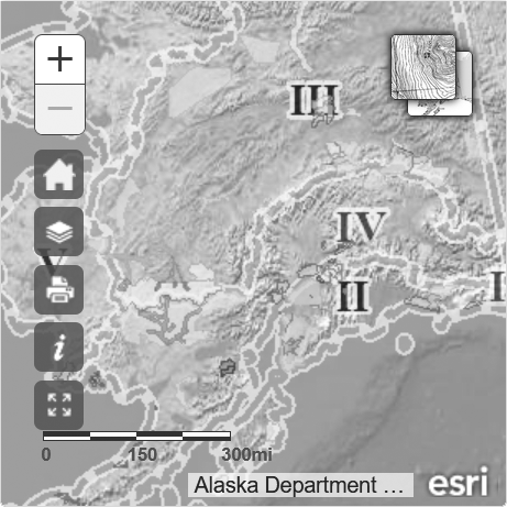
This map is intended for hunt planning use, not for determining legal property or regulatory boundaries. Content is compiled from various sources and is subject to change without notice. See the current hunting regulations for written descriptions of boundaries.
Hunters are responsible for knowing the land ownership and regulations of the areas they intend to hunt.
DS206
Dall Sheep
Drawing Permit Hunt
Unit 20D, that portion north of the Alaska Highway; 20E within the Middle Fork (Middle Fork North Fork) Fortymile River drainage north and west of the north bank upstream from and including the Joseph Creek drainage


