Notice
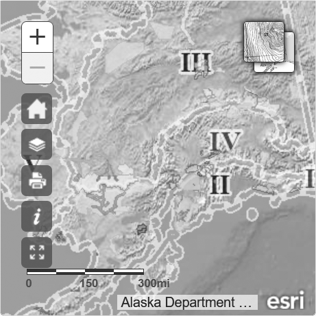
This map is intended for hunt planning use, not for determining legal property or regulatory boundaries. Content is compiled from various sources and is subject to change without notice. See the current hunting regulations for written descriptions of boundaries.
Hunters are responsible for knowing the land ownership and regulations of the areas they intend to hunt.
RG014
Mountain Goat
Registration Permit Hunt
Unit 1C, that mainland portion draining into the south bank of Little Sheep Creek, above 2,000 feet and south of the west ridge of West Peak, with the contour and ridge being the boundary, Gastineau Channel south of Little Sheep Cr, Stephens Passage, and Taku Inlet between the mouth of Little Sheep Cr and Taku Glacier, including that portion on the south side of Blackerby Ridge encompassed by a line from Observation Peak west along the ridgeline down to the 1,000-foot contour, east along that contour to the north shore of Salmon Creek Reservoir, north of the main drainage into the head of the reservoir following that drainage south and east up to the ridgeline and east to Olds Mountain.


