Notice
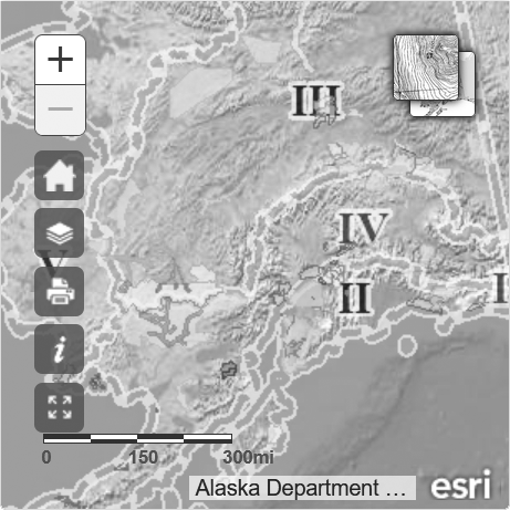
This map is intended for hunt planning use, not for determining legal property or regulatory boundaries. Content is compiled from various sources and is subject to change without notice. See the current hunting regulations for written descriptions of boundaries.
Hunters are responsible for knowing the land ownership and regulations of the areas they intend to hunt.
Unit 26B
Caribou - General Season - Harvest Ticket Required - Nonresidents and Residents
Unit 26B, Northwest portion, north of 69°30’ and west of the east bank of the Kuparuk River to a point at 70°10’ N. lat., 149°04’ W. long., then west approximately 22 miles to 70°10’ N. lat. and 149°56’ W. long., then following the east bank of the Kalubik River to the Arctic Ocean / Unit 26B, Northwest portion, north of 69°30’ and west of the east bank of the Kuparuk River to a point at 70°10’ N. lat., 149°04’ W. long., then west approximately 22 miles to 70°10’ N. lat. and 149°56’ W. long., then following the east bank of the Kalubik River to the Arctic Ocean


