Maps
-
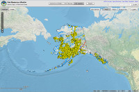
View 18,000+ Alaska rivers or lakes important for anadromous fish (i.e. salmon, trout, char, ,...etc). View interactive map or .PDFs.
-
Find maps of areas closed to hunting by name, GMU, and current restrictions. Maps are available in .GIF and .PDF format.
-
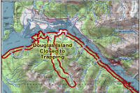
View maps of areas closed to trapping by name, GMU and current restrictions. Maps are available in .GIF and .PDF format.
-
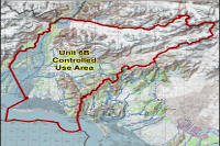
View controlled use areas by name, GMU, and current restrictions. Maps are available in .GIF and .PDF format.
-
Find maps of 17 critical habitat areas as designated by the Alaska State Legislature important to fish and willdlife species.
-
View the Crucial Habitat Assessment Tool, a web-based tool that allows the public to view crucial wildlife habitat and corridors.
-
Alaska's ecosystems provide habitat for a variety of fish and wildlife species. Learn more about the 32 different ecoregions.
-
Find maps of aquatic farms, nursery and hatchery operations for salmon and invertebrates including an interactive map of stocked lakes.
-
View 68 AK coastline areas identified as the most environmentally sensitive areas (MESAs) that could be impacted by a marine oil spill.
-
Interactive map of sites where culvert surveys have been performed combined with base maps, roads, communities, streams.
-
Salmon stock assessment research maps including sonar sites, western AK salmon stock id areas and Tanner Crab habitat research maps.
-
Interactive map of sample site locations where fish species have been collected or observed combined with other base maps/info.
-
Maps of Alaska's Game Management Units (including subunits) and Regions.
-
Locate maps of management areas by name, GMU, and current restrictions. Maps are available in .GIF and .PDF format.
-
Find hunting maps by species with hunt number, unit, and hunt description. Create a custom hunt map for your mobile or print a .PDF.
-
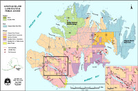
View land status maps for 32 designated state game refuges, critical habitat areas, and wildlife sanctuaries across Alaska.
-
View nonsubsistence areas in Alaska as defined by AS 16.05.258(c) and identified by the joint Board of Fisheries and Game.
-
View Alaska range maps for 200 animal species along with descriptions, life history, management and other resources.
-
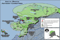
View advisory committee maps for 6 Alaska Regions. Committees make recommendations on issues to the AK boards of fisheries and game.
-
Find mapped salmon/trout streams and stocked lakes using 3 interactive maps. Bathymetric lake and harvest survey maps help anglers find fish!
-
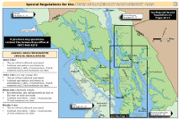
Sport fishing regulation maps for Northern, Southwest, Southcentral and Southeast Alaska by management area.
-
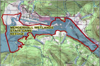
View maps of state refuges by name, GMU and current hunting restrictions. Maps are available in .GIF and .PDF format.
-
Find commercial fishery statistical area maps by fishery and management area. Also sport fishing guide & charter logbook area maps.
-
View wildlife tracking maps, overview and publication info for a number of species from Bears in Anchorage to Bowhead whales in the Arctic.
-
View maps of 12 state game refuges across along with information on what fish and wildlife species are abundant in the refuges.
-
Find maps and information on the three state wildlife sanctuaries including McNeil River, Stan Price and Walrus Islands sanctuaries.
-
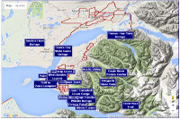
View wildlife viewing maps of Alaska including some interactive Google Maps. Popular locations and visitor information is included.


